Morro Bay, CA Bird Fest 2003 Work
Area
Selected Information and Maps
are published here
Revised
02/18/2008
The 2003 Official Bird Fest Site is not published here.
Go to the
Official Site
Maps: color and gray-scale versions)
Note: These are very BIG .jpgs, intended for development use and not
optimized for web browsing.
These maps have been moved from mikebaird.com/birdfest to
http://morro-bay.com/digitalchocolate/birdfest/
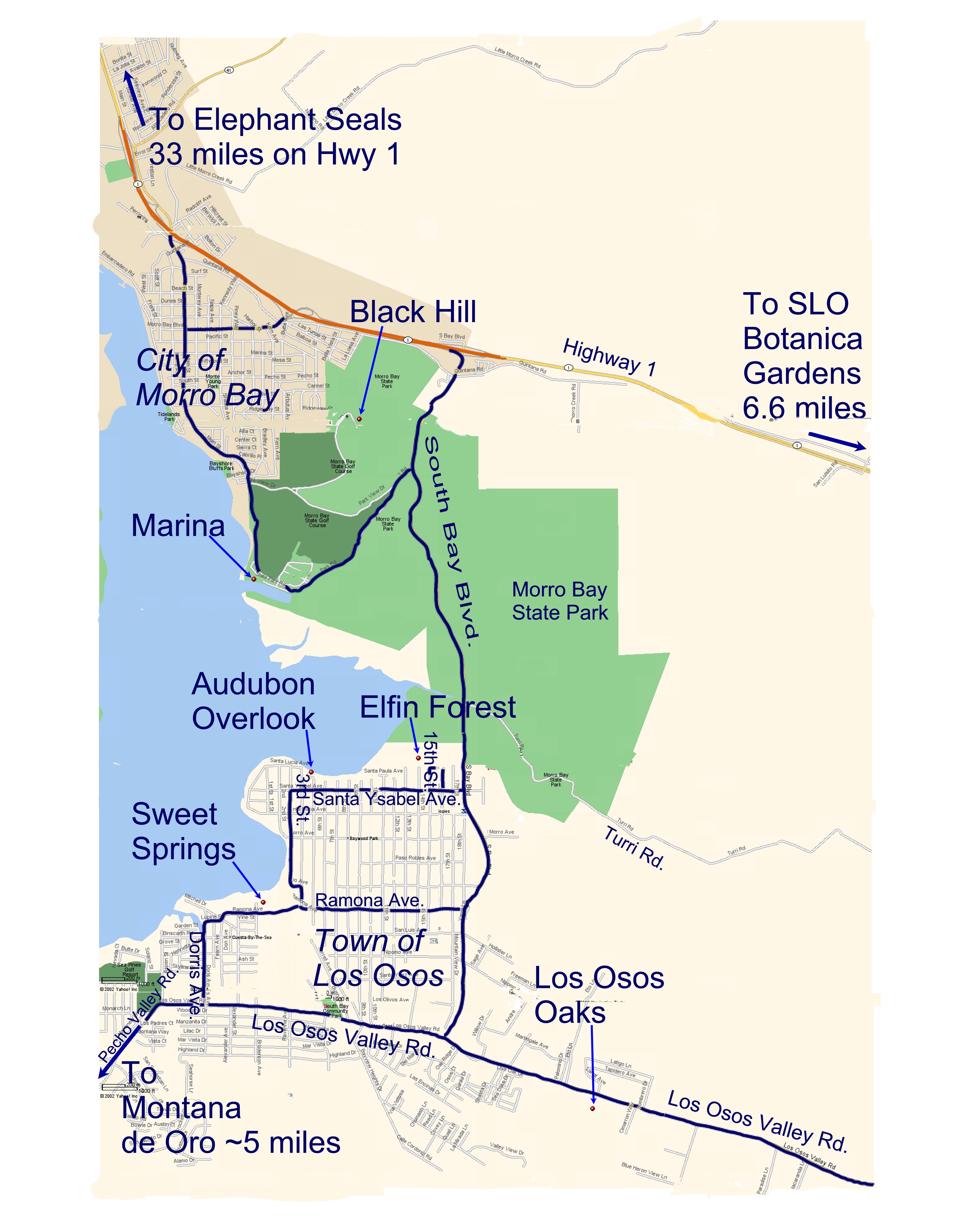
 Map 1 of 2 (color, grey-level)(1105x1737 pixels)
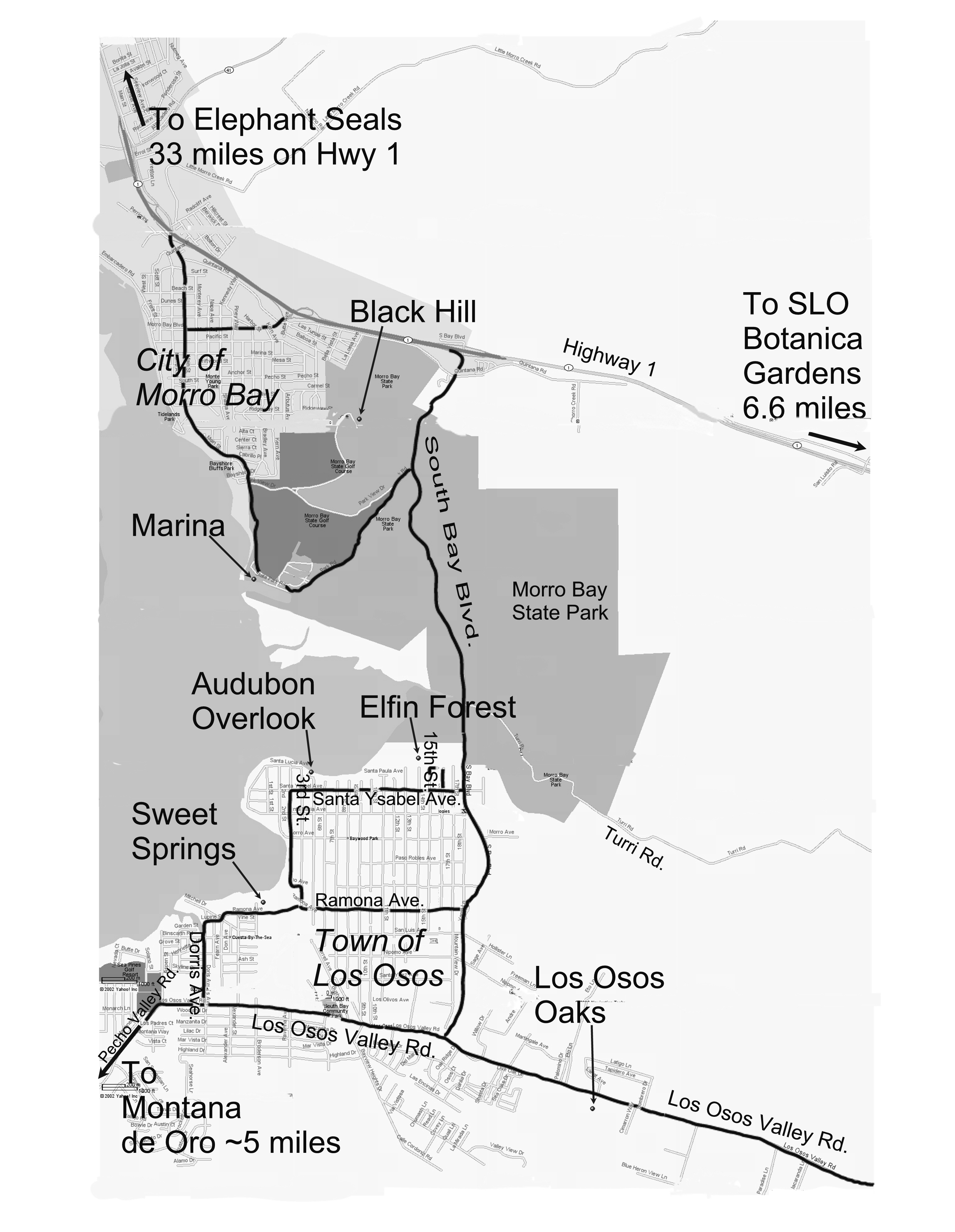
Revised
Content 8-31-02
(Morro Bay showing Community Center, Vet's Hall, Library, Museum, Virg's, Kayak
rentals...)
5 MB Color PhotoDraw (.mix)
5 MB Grey-level PhotoDraw (.mix)
originals of above [Must have PhotoDraw to view]

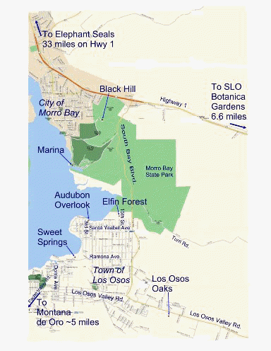
 Map 2 of 2 (Wider Area) (1537x1984 pixels) (~2 MB .jpg! BIG)
Revised format only 8-31-02
(Routes to Montana de Oro, Sweet Springs, Elfin Forest, Los Osos Oak Preserve,
Audubon Overlook, SLO Botanical Gardens, Elephant Seals...)
39 MB PhotoDraw (.mix) original ... last rev: "wide-area-6-25a-02Map2.mix"
of above is too large to download - linked
here
for future development only.
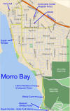
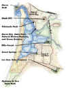
Here is an "image map" with
embedded links to more information...
Float your mouse over the map below, and whenever the mouse cursor changes into
a "finger," you can click to get more information about the area under
the cursor.
The above image map is reproduced on this
separate page.
Also, the Morro Bay National Estuary Program web site
includes a good map of places to
visit in the area.
My
May 30, 2002 e-mail to Norma Wightman regarding other sources for maps and handouts.
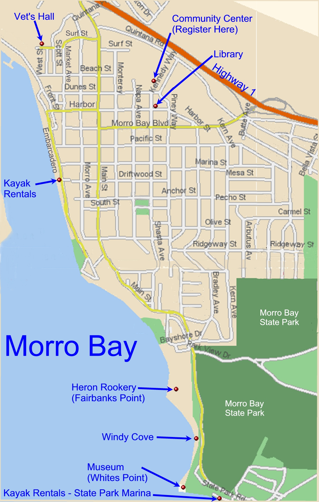
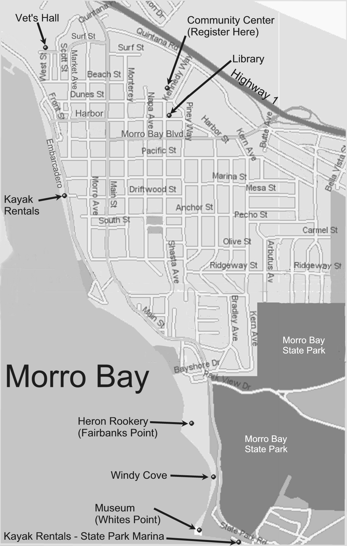 Map 1 of 2 (color, grey-level)(1105x1737 pixels)